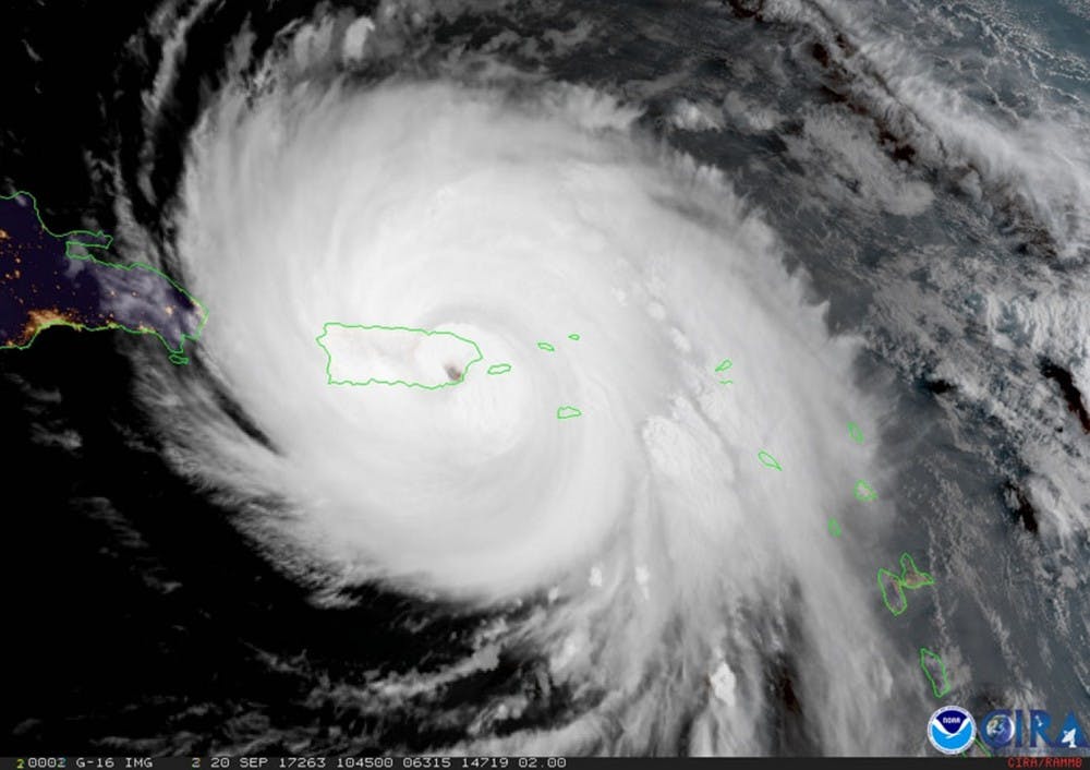
The National Weather Service warned South Carolina beachgoers to stay out of the water Saturday as Hurricane Maria is expected to cause strong rip currents along the Atlantic coast.
At 11 a.m. Sunday, the National Hurricane Center gauged Maria's maximum sustained wind speed at 105 mph, just below the NHC's threshold for a "major" hurricane. Despite a simultaneous position hundreds of miles off the coast of North Carolina, the NHC advised that "interests along the Carolina and Mid-Atlantic coasts" keep a close watch on the storm's progress in the coming days.
"No one should enter the surf due to life threatening rip currents," the Charleston NWS warned. The office's Sunday afternoon coastal hazard message said breaking waves of five to seven feet are expected.
As of Sunday afternoon, the high surf advisory is in effect for beaches in southeastern Georgia and southeastern South Carolina through 8 p.m. Monday night.
Despite potential problems along the coast, the NWS forecasts mostly sunny conditions in Columbia throughout the week of Sept. 25.
Though graded as a Category 2 hurricane on Sunday morning, the storm sustained nearly Category 5 wind speeds as it ripped through the U.S. island territory of Puerto Rico on Sept. 20. Executive director Carlos Mercader of the Puerto Rico Federal Affairs Administration told The Hill communications were still down across 95 percent of the island Saturday.
Maria's approach of the Carolinas comes only days following the 28th anniversary of another notable weather incident: the direct impact of Hurricane Hugo.
After making landfall near Charleston on Sept. 21, 1989, Hugo directly caused 13 deaths around the state and left 60,000 residents homeless. The South Carolina Emergency Management Division estimated in 2014 that a similar Category 4 hurricane would cause $16.6 billion in damages to the state in the present day.

